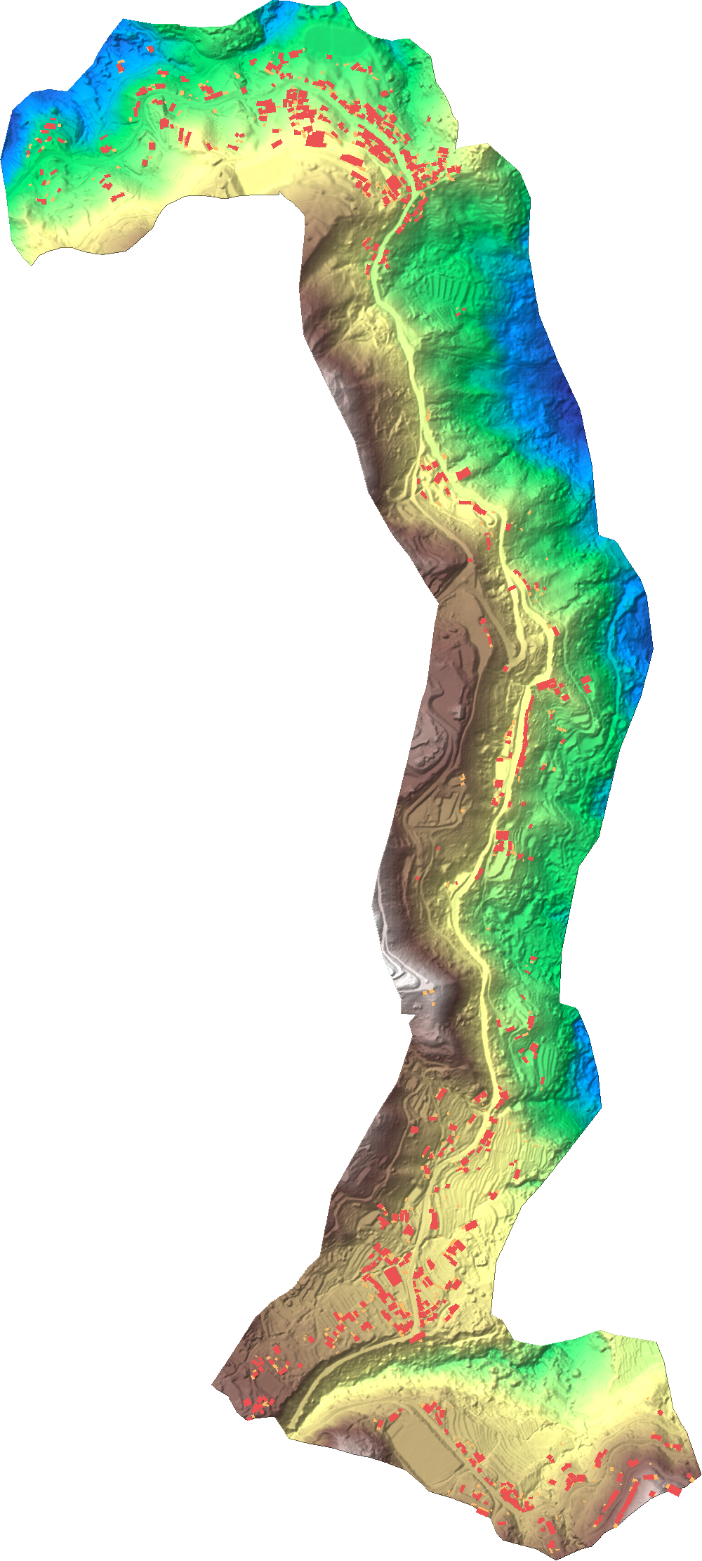
LiDAR Corridor Review — Km 190.503 to 195.648
0.5 m bare-earth LiDAR DTM · UTM Zone 46N · design alignment and topographical survey overlaid
—
Corridor plan
Relief
Slope
Hillshade
Buildings (575)
Sheds (612)
Centreline
SRT 1–9
Click anywhere on the plan to jump to that chainage.
Cross-section at chainage
‹
›
▶ Run
—
Longitudinal section on the design centreline
SRT structures
Structures & land
Terrain & slope
Culverts & drainage
Survey coverage